This listing hasn't been claimed by Pritchards Bookshop yet — this item's details and price were compiled by JustVybe from publicly available sources and have not been checked or confirmed by the business.
Last updated 16 Nov 2026.
Last updated 16 Nov 2026.
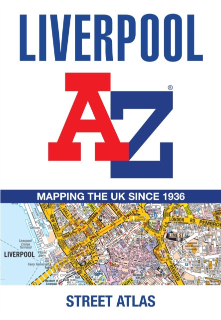
Liverpool A-Z Street Atlas : Accurate Street Map for Easy Navigation (A5)
£8.99
Maps
ISBN: 9780008780715
Delivery & collection
Contact business to arrange
Check with the business for delivery charges, minimum orders and any address restrictions.
Author: A-Z Maps Lancashire
Published on 23 April 2026 by Harper
Collins Publishers (Harper
Collins) in the United Kingdom.
Paperback | 144 pages214 x 148 x 10 | 200g
Navigate your way around Liverpool with this detailed and easy-to-use A-Z Street Atlas. Printed in full-colour, paperback format, this atlas contains 96 pages of continuous street mapping in a NEW A5 format for ease of use. Coverage extends to include: Aintree, Bootle, St Helens, Widnes, Runcorn, Garston, Gayton, Moreton, and Wallasey. Also included is: • a large scale city centre map of Liverpool • a postcode map of the Liverpool area • a Liverpool rail connections map Postcode districts, one-way streets and park and ride sites are featured on the mapping. The index section lists streets, selected flats, walkways and places of interest, place, area and station names, hospitals, NHS Walk-in Centres and hospices.
Catalogue item — contact the business to enquire.
Back to shop